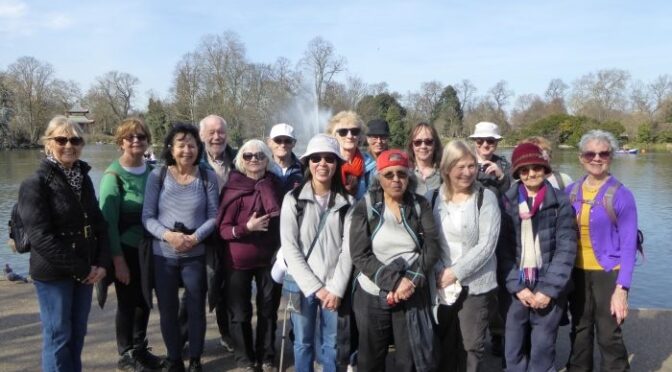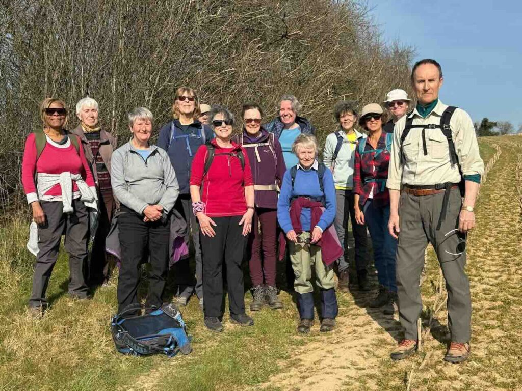
We got off our train at the tiny station of Wrabness and began our walk along the Essex Way to Manningtree. There were nine of us in total. The terrain was flat and we could see long distances. I always love the wide open skies and the grand vista of the Stour estuary. This is a country that the artists Gainsborough and Constable must also have loved back in the 18th Century. The sky today however is overcast and grey and there is a chilly breeze. Good weather for a brisk pace!
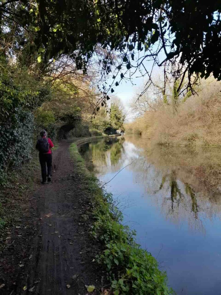
After a few minutes walking towards the estuary we came to Grayson Perry’s famous ‘A house for Essex’ which can be rented as a holiday home. It is adorned with ceramic work and really does look quite unique. Then after admiring it we walked westwards along a narrow path next to the estuary which was at full tide. There were fields to our left with bright yellow flowers. In the far distance behind us were the cranes of Felixstowe Port and across the wide bay ahead of we could see the tall tower of the Royal Hospital School.
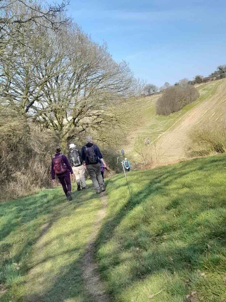
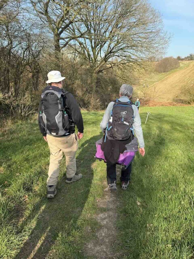
After some time we emerged from the fields next to a caravan site and headed inland for a while because this section of the estuary path has become dangerous due to erosion. We visited the medieval ‘All Saints Wrabness’ church and I was surprised to see a busy village fete in full swing. Refreshed by cake we crossed the only stile on this walk and headed back to the river along a wooded trail. We passed through the Wrabness nature reserve and then headed out along the exposed estuary to an abandoned horse box where we had a water break. On the skyline looking south, inland, we can see the distant church tower of the village of Bradfield which is our lunch stop. It was sunny and hot by now and many of us had removed an outer layer.
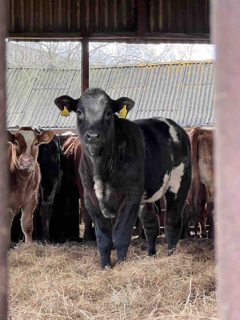
We climbed up to the village passing through a field of tall plants with yellow flowers and through a railway tunnel. We were in a large ploughed field and I held up an example of some large root vegetable we didn’t recognise. See photo! Definitely not swede we decided. Later, opinion settles on ‘Manglewurzle’ although not everyone agrees. We arrived in Bradfield with it’s much repaired church which is left open for visitors and has a toilet! Very civilised. The local pub was, sadly, no longer open. Most of us had our picnic lunch in the sunny grounds of the village hall.
After enjoying lunch we set off, heading towards Mistley via Mill lane. We passed over what was once a heath but is now farmland. The earth was very hard, dry and pale. Over to our right we saw the estuary shining in the distance.
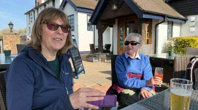
After about a half an hour passing through large fields we reached a new housing development and then we entered a large wood containing some impressive old oaks and banks of bluebells. Mistley announced itself with its tall chimney and large grain silos as we left the wood. It is a rather charming old industrial area next to the river. Here we broke for a drink in the Mistley Thorn – a popular gastro pub. Although most of us went for tea or coffee in the small tea shop across the road. Nearby there was a disturbing sign about the activities of ‘The Witchfinder General’ who was responsible for nearly 90 deaths back in the 17th C in Essex. Leaving Mistley behind we walked along the wide river bank passing an old church and saw distant white swans feeding in the mud flats. Manningtree is not far away and my guide book says the town is rumoured to be the smallest in England!
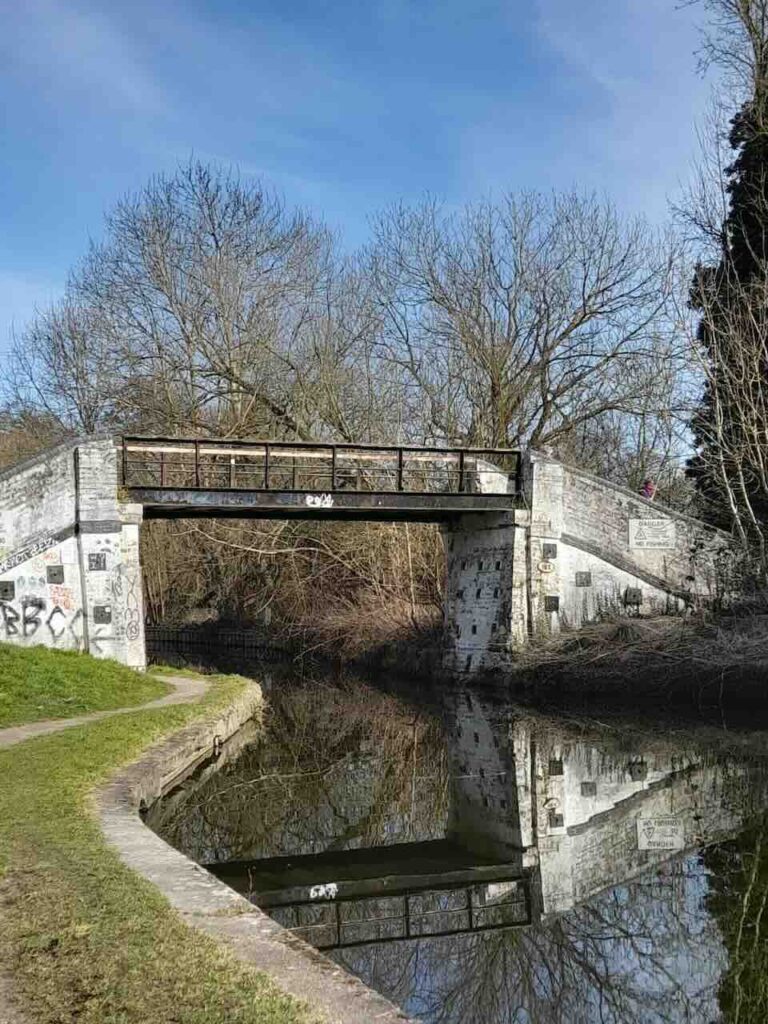
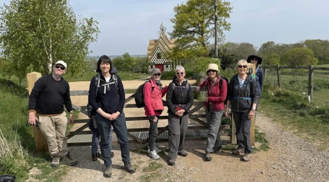
Whether the smallest or not the centre of the old town is charming. We climbed a dyke and walked along a path on the top of it which snaked along by the river until we left the town. The last (two mile) section of the walk was before us. We walked in single file along a path with sheep and spring lambs bleating noisily to the left of us in alarm and tall phragmite reeds and the river to our right. The air is also filled with the sound of oyster catchers and other birds. It’s a lovely section of the walk and a delight after leaving the busy town behind us. Eventually we loop back past fields with more sheep and arrive at Manningtree station just in time to catch a fast train back to Liverpool Street. I think everyone enjoyed the day, at least I hope so!
Chris
Photos by Jackie McCartan, Jackie Copeland, Jane and Chris