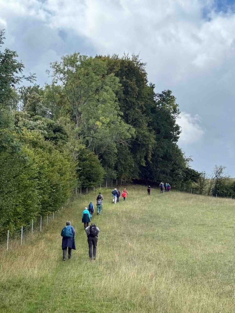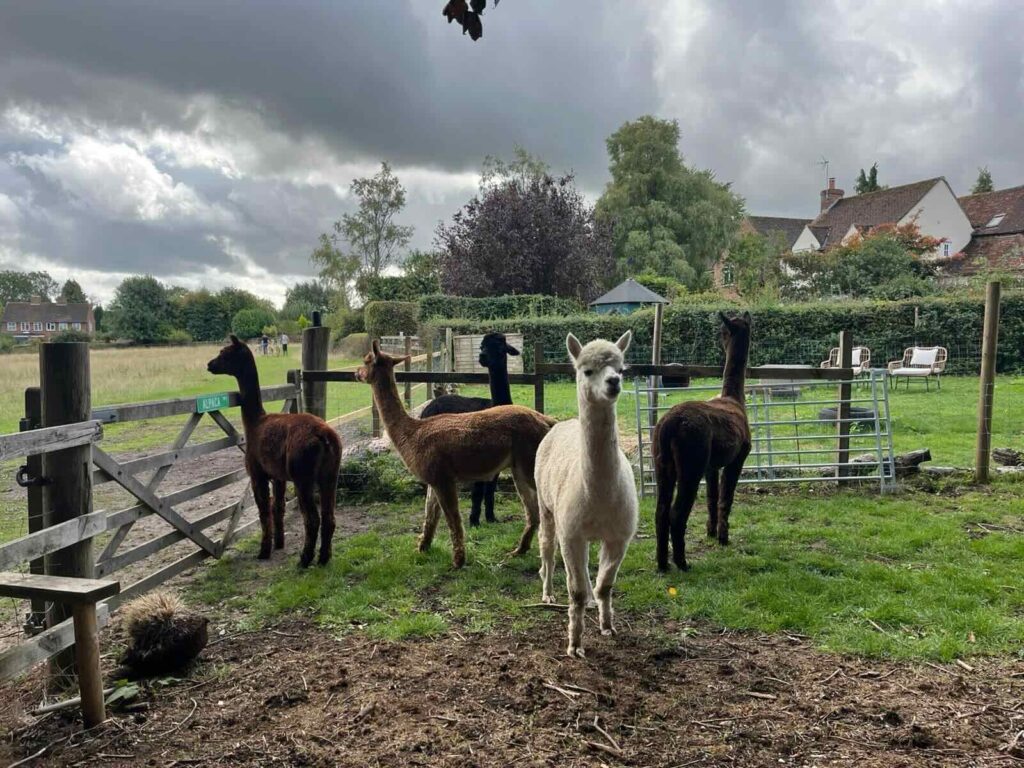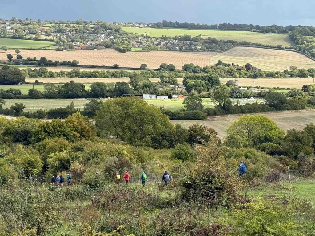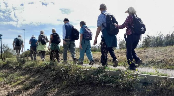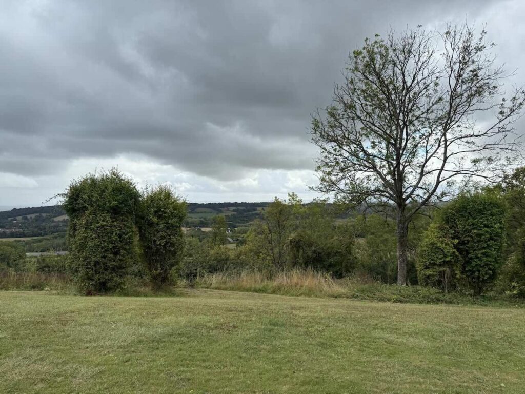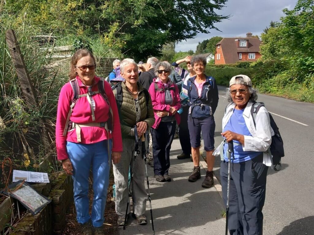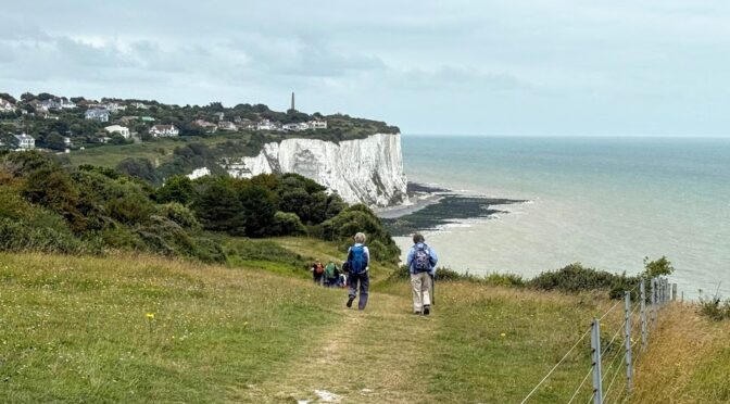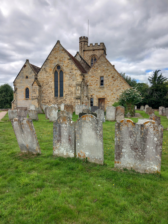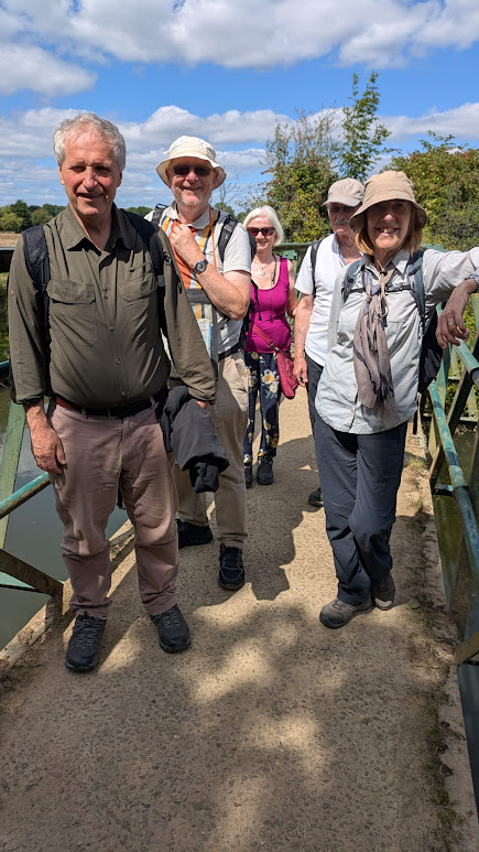
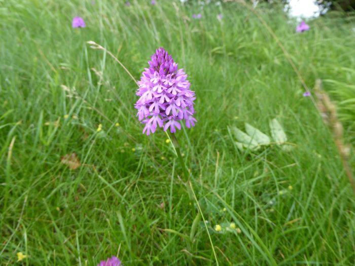
16 of us set off on this walk in bright sunshine towards the village of Bledlow Ridge, passing horses and alpacas on the way. We recovered from our first steep climb with a quick stop at the Boot pub before following the Chiltern Way, gradually wending our way down via beautiful views across the valley, freshly green fields and a beech wood, before circling around to meet the Ridgeway.
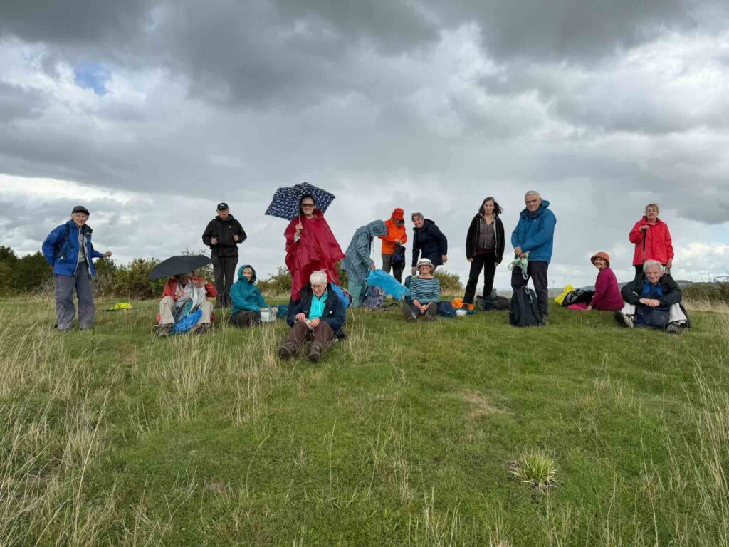
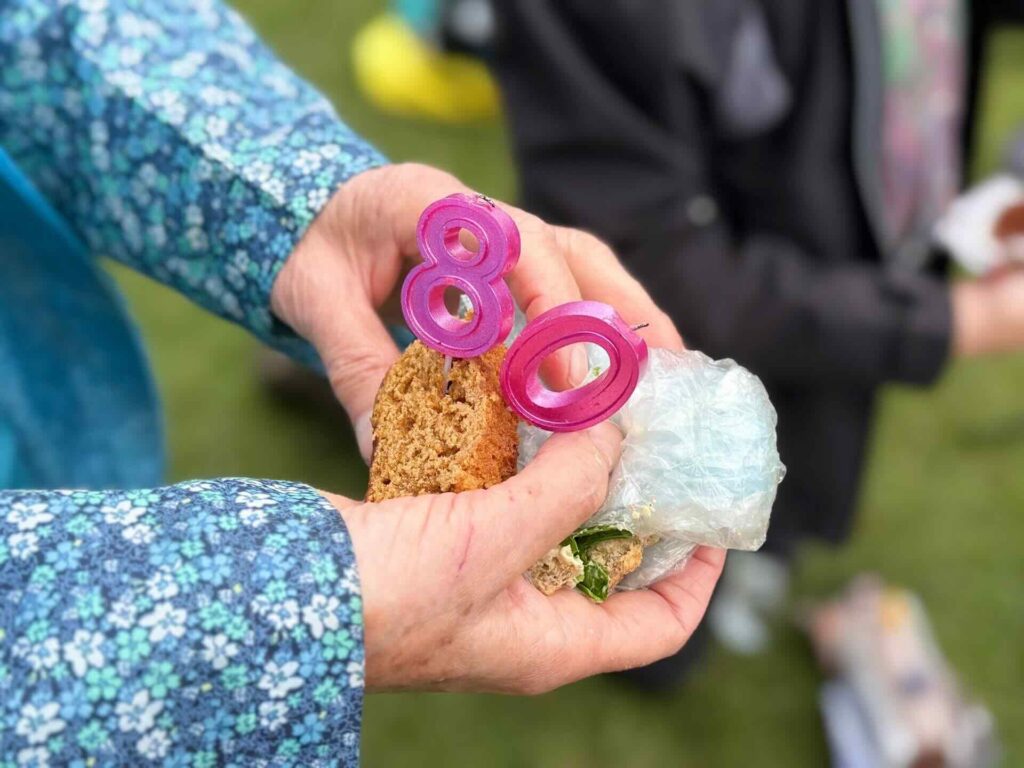
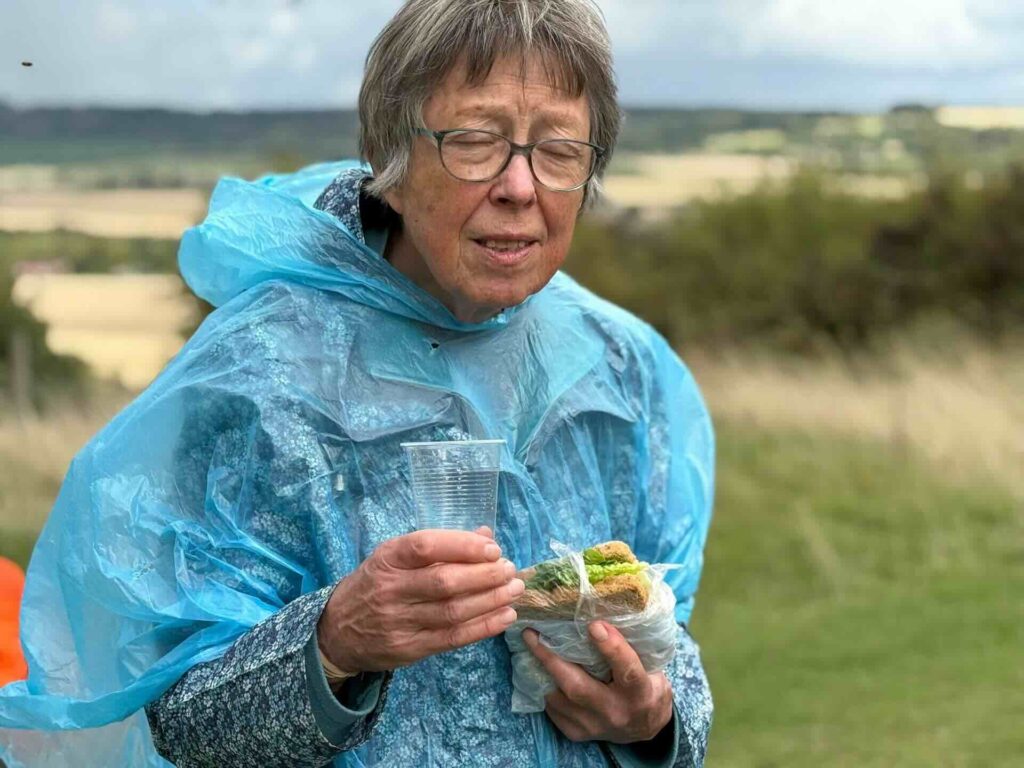
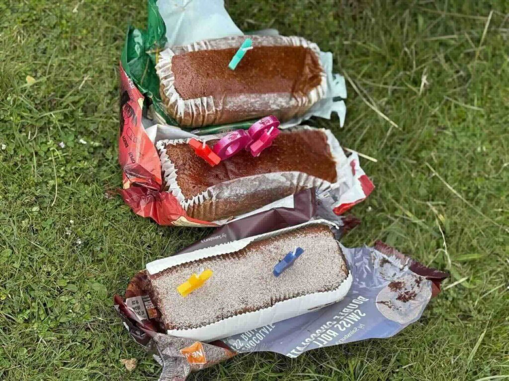
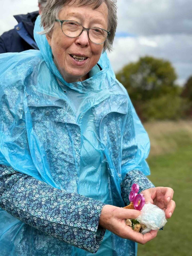
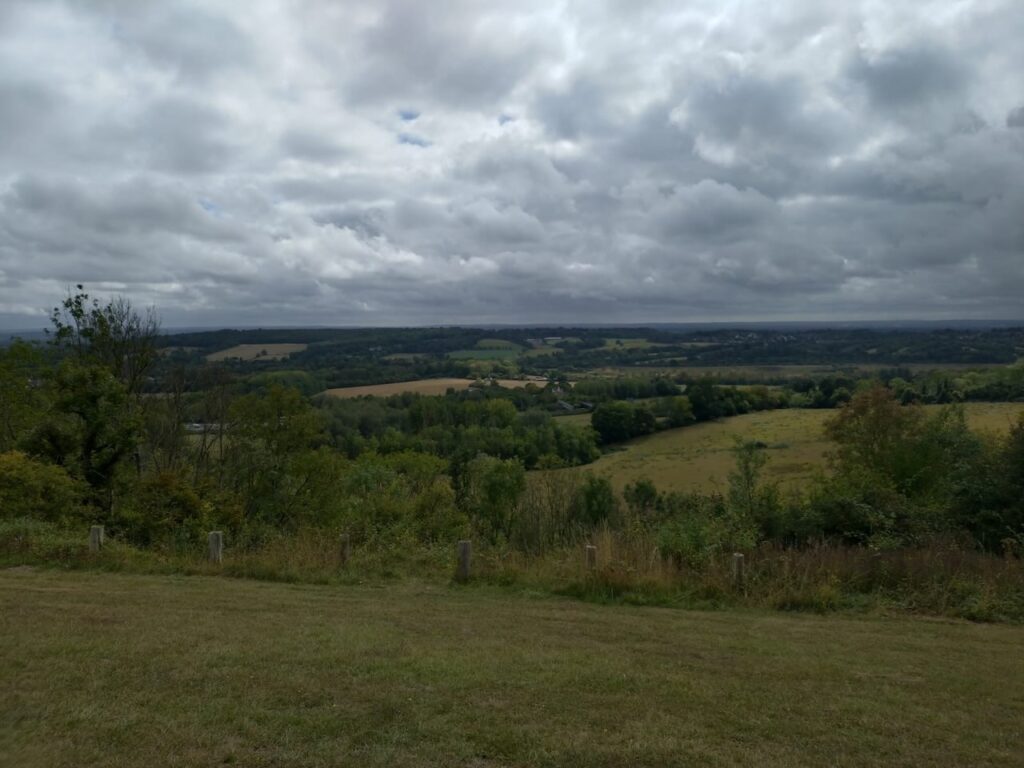
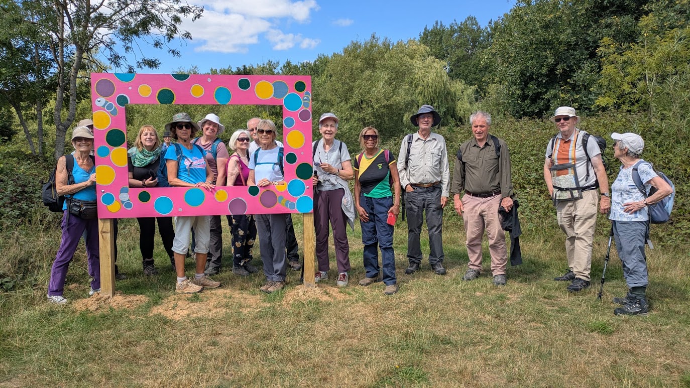
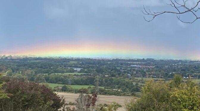
The rain held off for our picnic at Lodge Hill with fantastic views as well as an 80th birthday cake and bubbly for one of our members. We were lucky to see a horizontal rainbow over towards Princes Risborough, the first of several fabulous rainbows of the afternoon, which more than compensated for the occasional sharp squalls of rain.
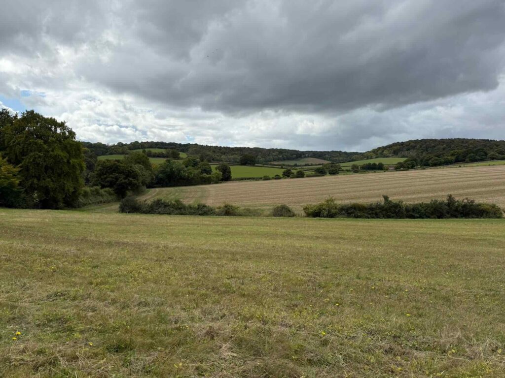
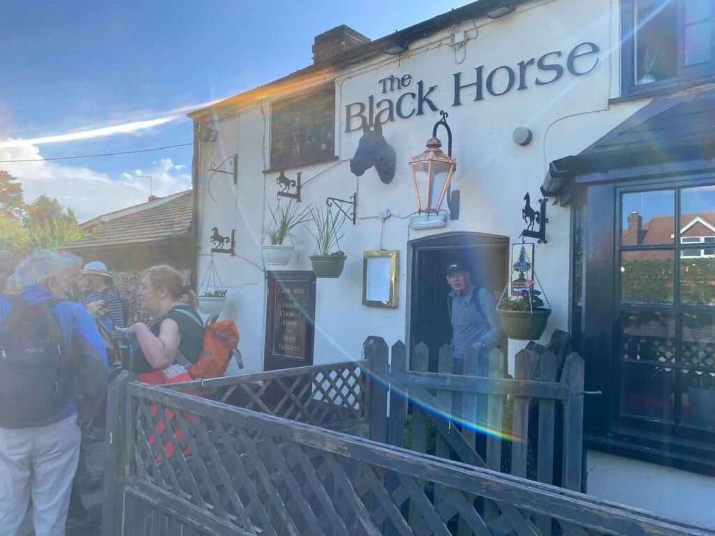
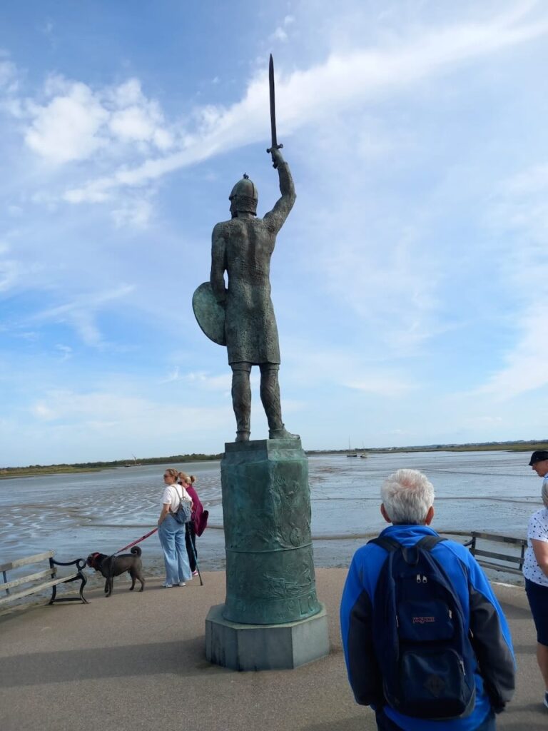
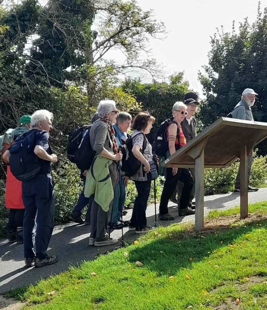
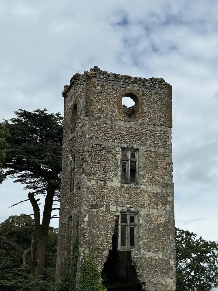
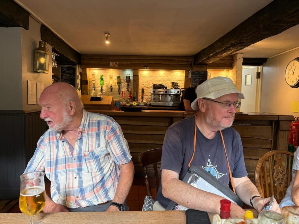
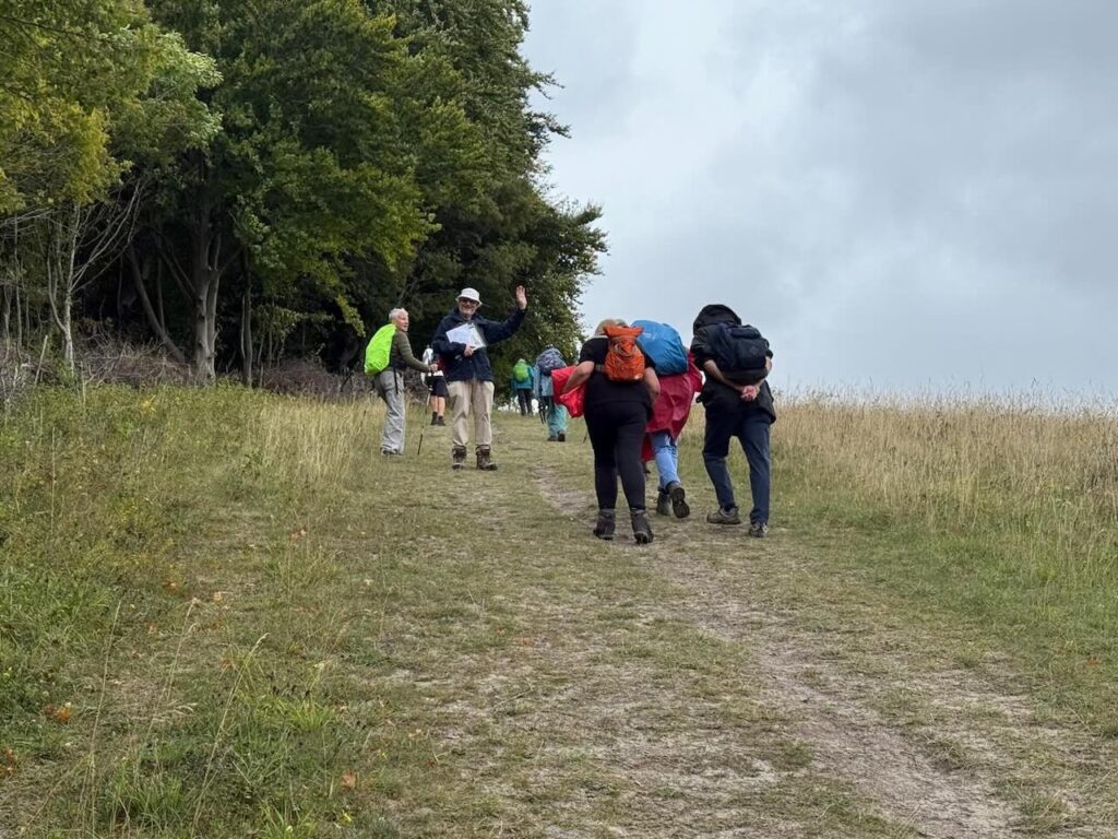
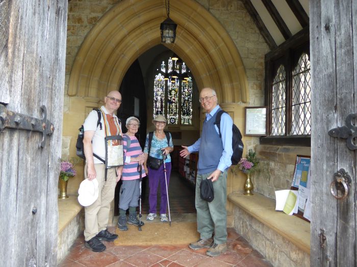
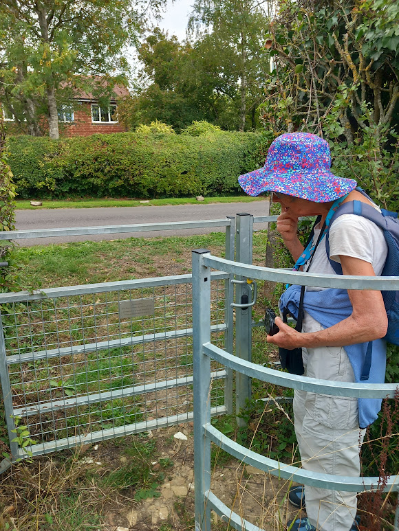
We crossed the railway tracks and the Saunderton tunnel before leaving the Ridgeway and heading towards Lacey Green. Our route took us through the pretty village of Loosley Hill up a second fairly sustained climb. The Black Horse pub at Lacey Green provided an extremely welcome stopping point. From here, 7 miles in, two members of the group decided to take the 300 bus down to High Wycombe. After our stop at the lovely old pub the rest of the party headed off into the undulating Chilterns farmland for the next part of the walk.
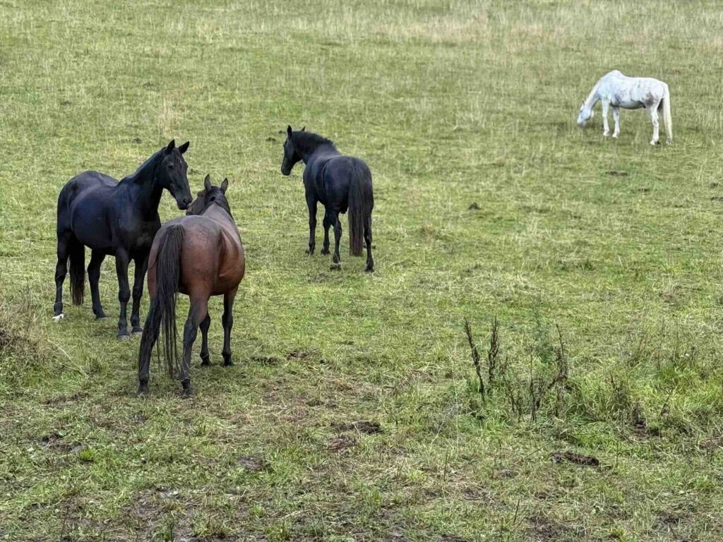
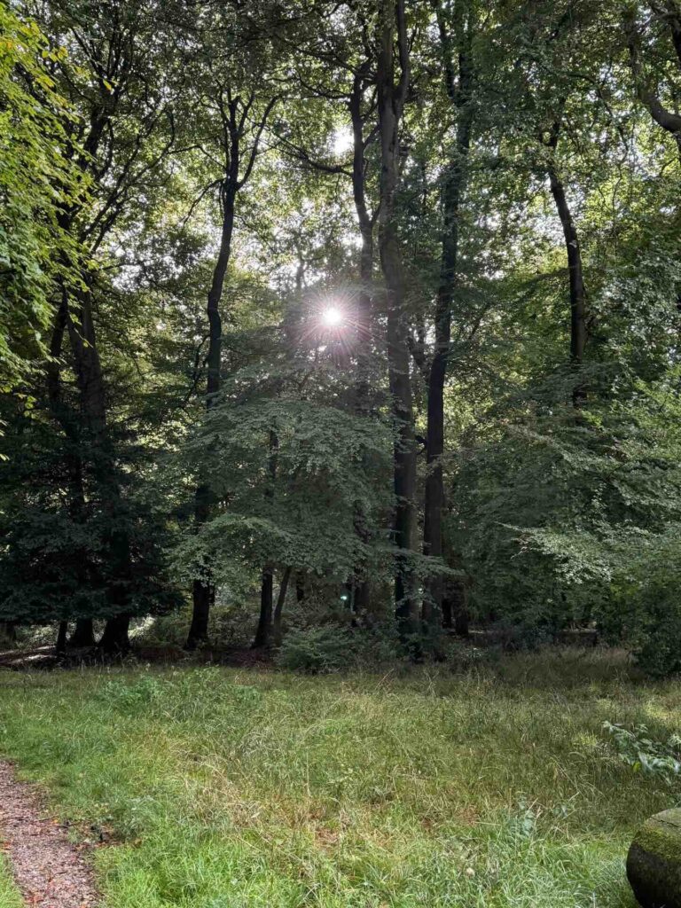
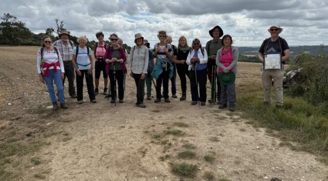
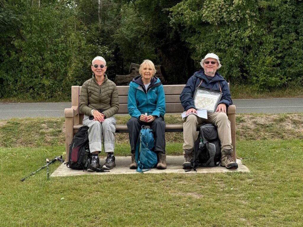
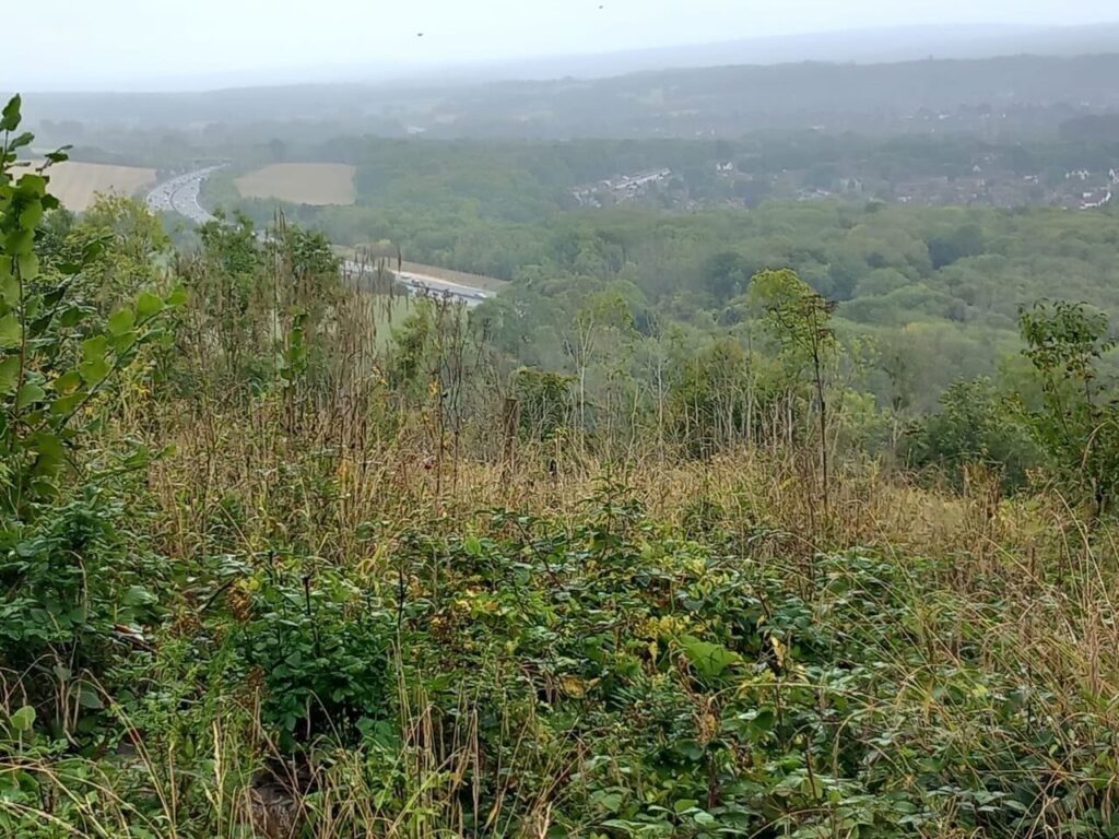
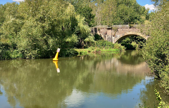
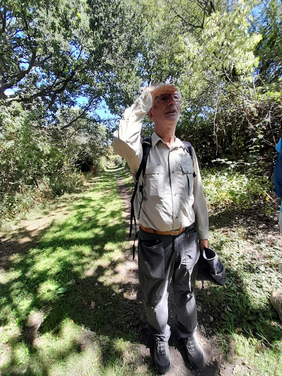
We navigated some of the first mud of the season and sheltered from a heavy rain storm at the top of Highwood Bottom. We met horses taking shelter in the pretty Flowers Bottom, before navigating past a herd of Friesian cows as we completed the final climb of the walk to the outskirts of Bradenham. From here we walked down through Brandenham Beeches where the fabulous trees afforded us shelter and some beautiful glimpses of sunshine. As we came to the edge of the wood we had a wonderful sunny view across Saunderton and towards the ridge opposite where we had started the walk. The party made it to the station in time for the 6 o’clock train, having completed 11 miles and a total ascent and descent of around 1300 feet.
Jo
Many thanks to Chris and Mary for the fantastic photographs.