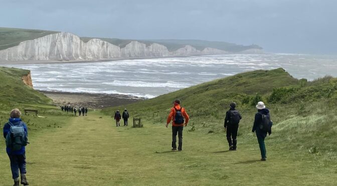
I had been watching the Met Office forecast in the week for the south coast with dread. It was showing strong winds, thunder, and heavy rain. Not the ideal conditions for walking along cliff tops and I doubted I’d be able to attract many ramblers for what otherwise is, I think, one of the best walks in the summer programme.
We travelled down to Seaford in the pouring rain and I wasn’t feeling anymore confident as we approached the start of the walk. By the time we assembled on the seafront at Seaford however, there was a small but enthusiastic group of 10 Poly Ramblers raring to go whatever the weather might throw at us. As we set out to climb the steep path over Seaford Head, the rain eased but the gusts of south-westerly winds remained strong giving us an extra lift as we walked along the cliff tops. When we stopped for a group photograph with the Seven Sisters in the background, we had the added spectacle of stormy waves and their white tops breaking in the bay of Cuckmere Haven. Continue reading SEAFORD TO BERWICK -15 JUNE 2024→
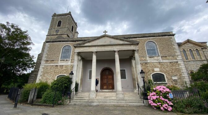
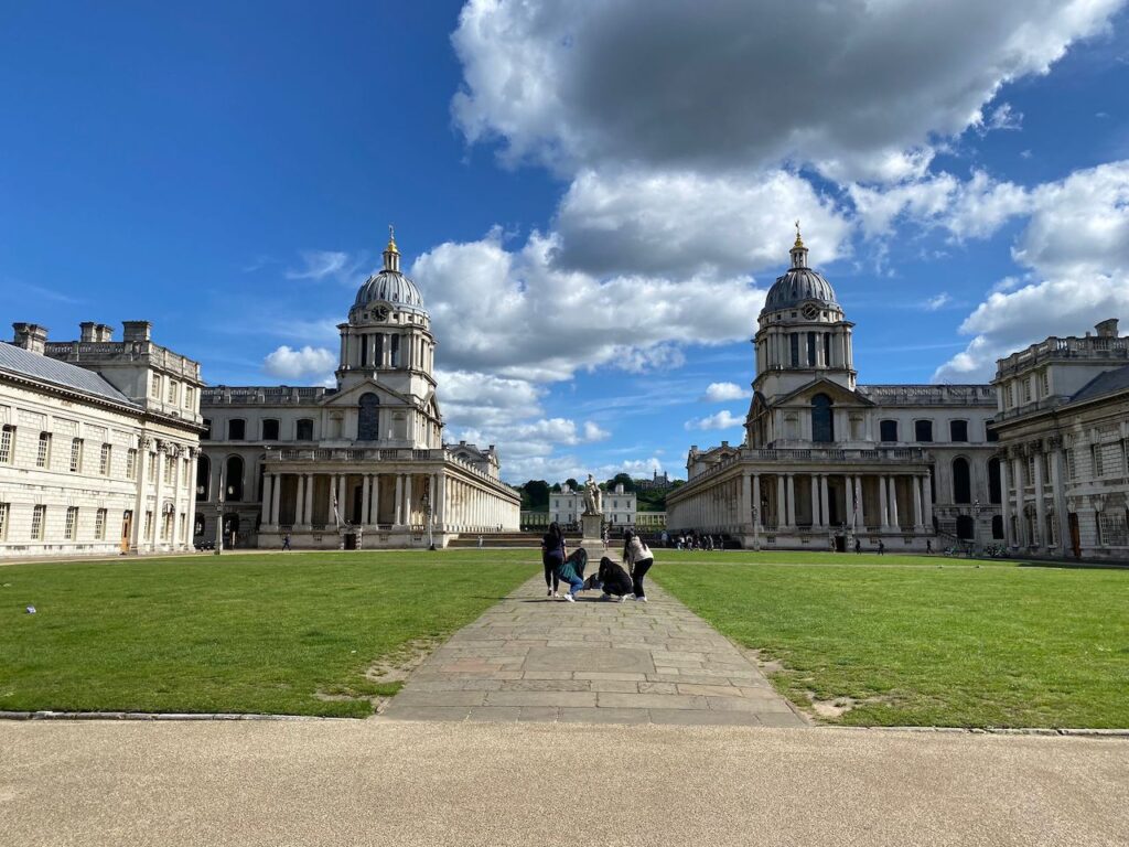
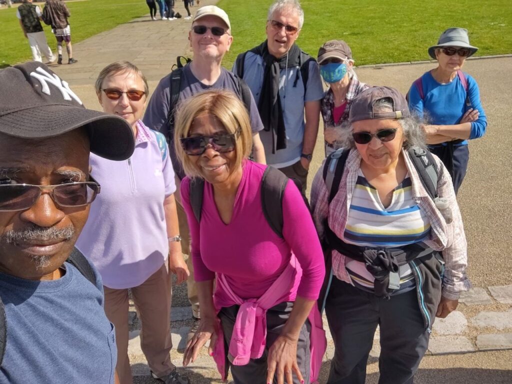
Six Polyramblers were about to start the walk in Greenwich when we got a message from Hilary to say that she and Gini were arriving by boat. So we went to wait for them at Greenwich Pier. Now eight Polyramblers, we went up towards Greenwich Observatory through the park and left it at Macartney House, which used to be the home of General James Wolfe. Walking on a track lined with pretty houses, we reached a grassy plateau known as The Point with an amazing London panorama. We then descended in the valley of the Ravensbourne river which we met in Brookmill Park and Brookmill Nature Reserve. We continued to Hilly Fields where we had lunch in the cafe. We passed a nicely decorated trig point to reach Vicars Hill. We made a very short detour to see the 15th century Parish Church of St Mary’s in Lewisham with an unusual Grecian porch, probably from the 18th century, and its therapeutic garden from the 21st century. Continue reading GREEN LONDON WAY: GREENWICH TO FOREST HILL 12 JUNE→
We were joined by Poppy and Quentin from North London Ramblers at Chigwell before parting for the Roding Valley Meadows Nature Reserve. In the morning the weather was cloudy and there was a little mud in the wooded areas but otherwise relatively easy walking.
Unfortunately the Premier Inn near Queen Elisabeth’s Hunting Lodge was closed so we stopped earlier at ‘The Warren Wood’ public house for lunch before proceeding to Gillwell Park, the UK National Centre for Scouts. Three of us left after lunch in order to shorten their journey.
In the afternoon we had some sunny weather and really attractive views over a distant London from Yardley Hill and then over the huge King Georges Reservoir near Enfield from Daws Hill Park. Arriving about 5 minutes before the train departed from Enfield Lock, we enjoyed a swift journey back to London.
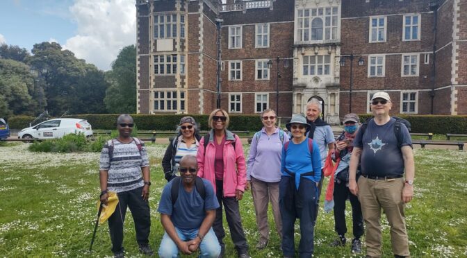
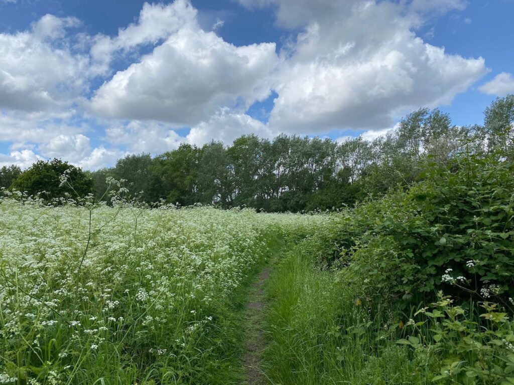
It was a sunny day when 9 Polyramblers met at the Elizabeth Line Woolwich station. We walked up to Woolwich Common, passing St George’s Garrison Church which was bombed during the Second World War. The beautiful mosaics have been restored and are protected from the elements by a canopy roof. We crossed the common which was covered with Queen Anne’s Lace (am I right, Kim?) as far as the eyes could see.
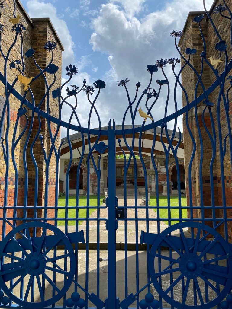
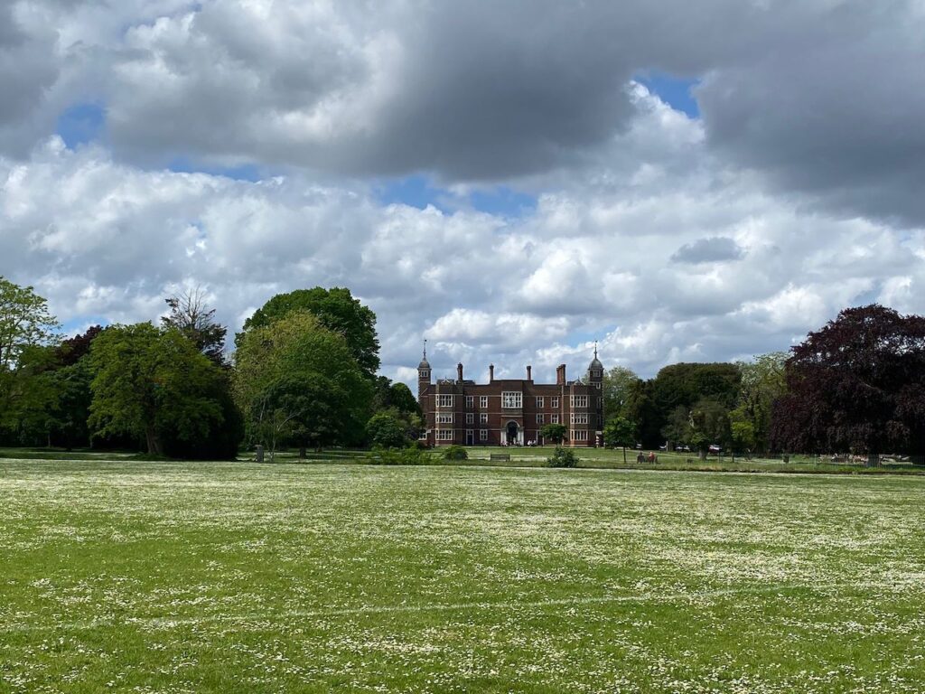
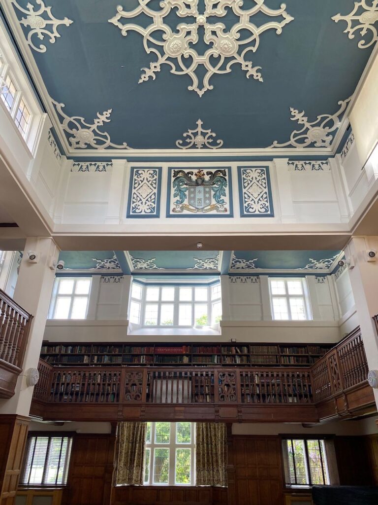
After Hornfair Park, we arrived in Charlton Park. We had lunch in the sun on the terrace of Charlton House, one of the finest Jacobean houses in the country. Geoffrey used to go to the library there but it is now a venue for different events. We had a look at a small exhibition on saris and sneaked a glance at the beautiful room which served as a library.
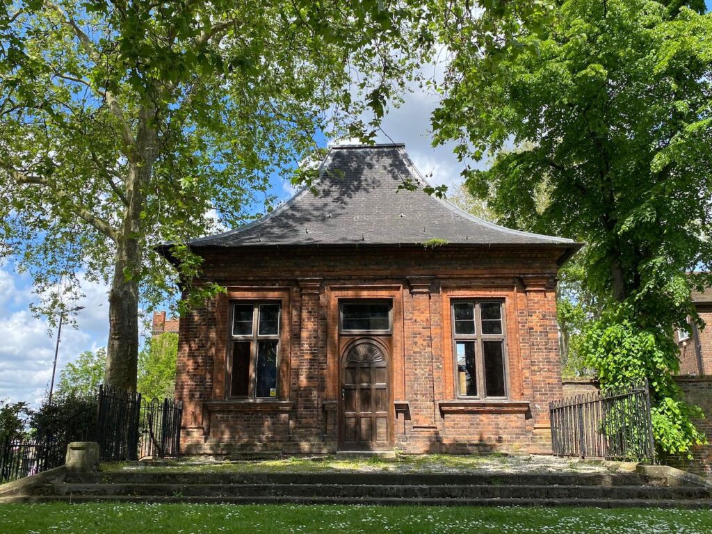
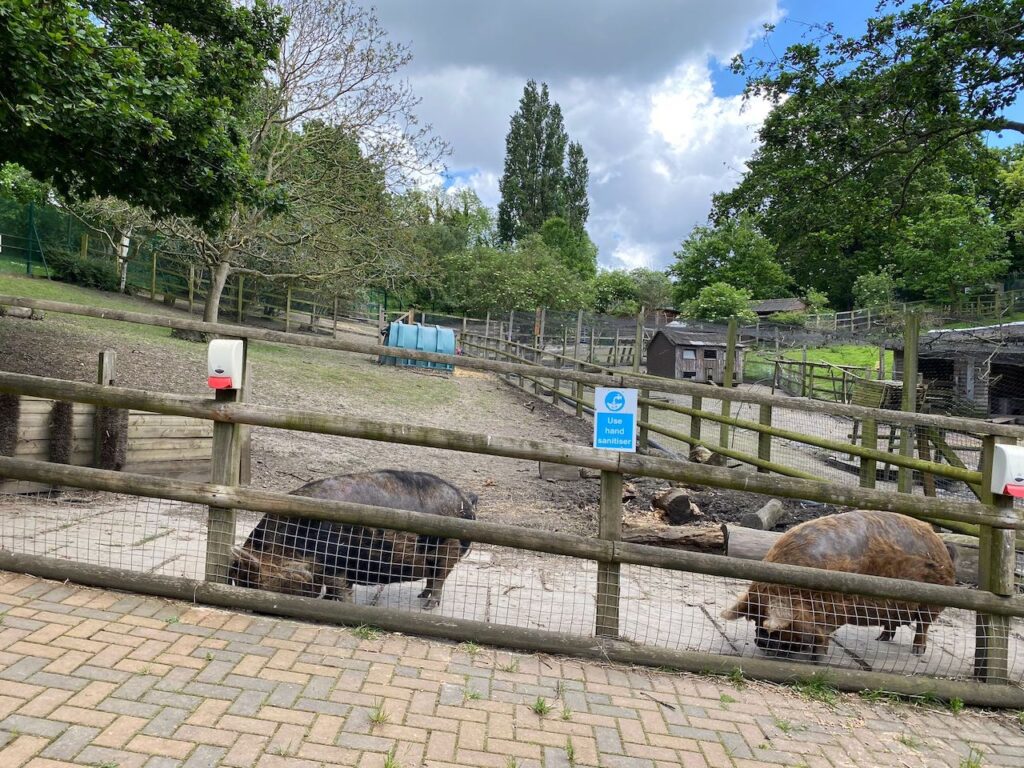
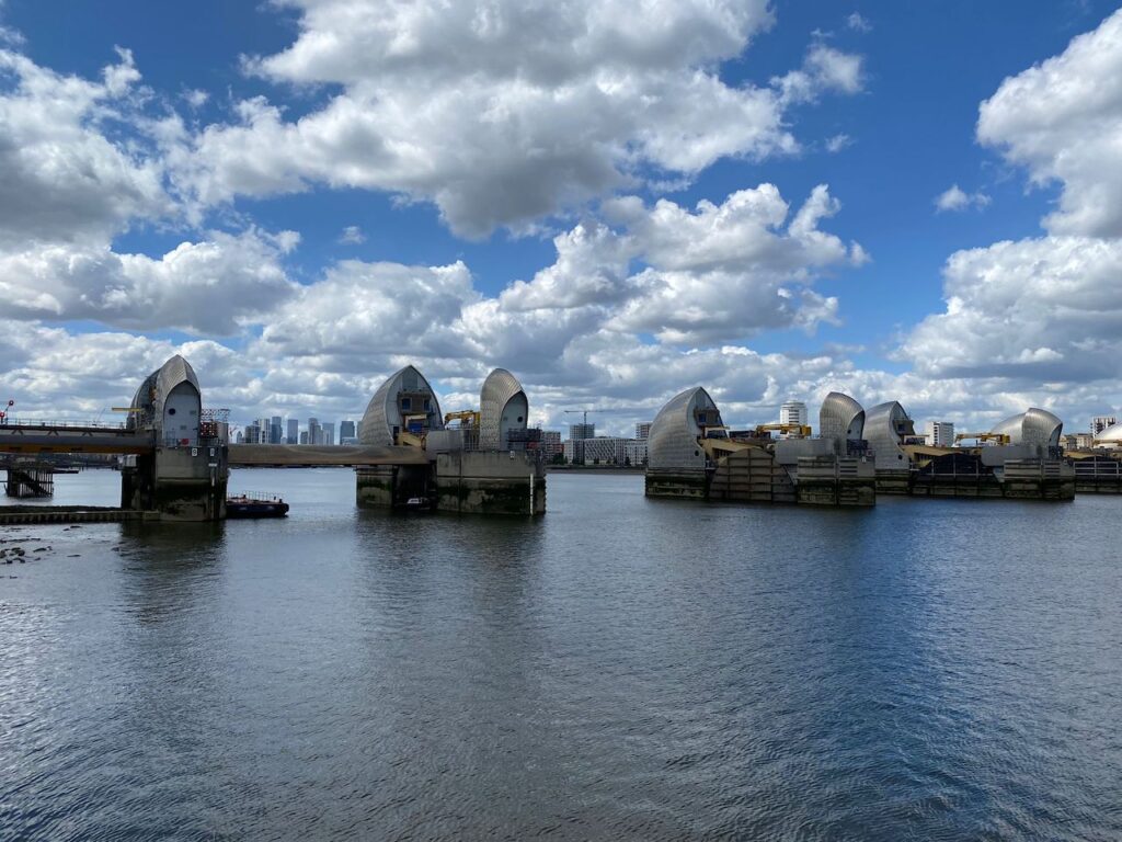
After lunch and a group photo, we passed what was formerly a summer house and is the only part of the Charlton buildings attributable to Inigo Jones. The Borough Council converted it into public toilets in 1936. Geoffrey remembers when the building was a public toilet. It is now unused and empty. Then, we walked through Charlton village, went back to Charlton Park and crossed into Maryon-Wilson Park. The Maryon-Wilson family used to own Charlton House but sold it to Greenwich Borough Council. It’s a nice park with animal enclosures (sheep, pigs and poultry). We continued through Maryon Park and up and down Cox Mount (89 ft) to the Thames Barrier. We followed the Thames, first through a tunnel under the Barrier buildings, then along industrial estates and newly built flats.
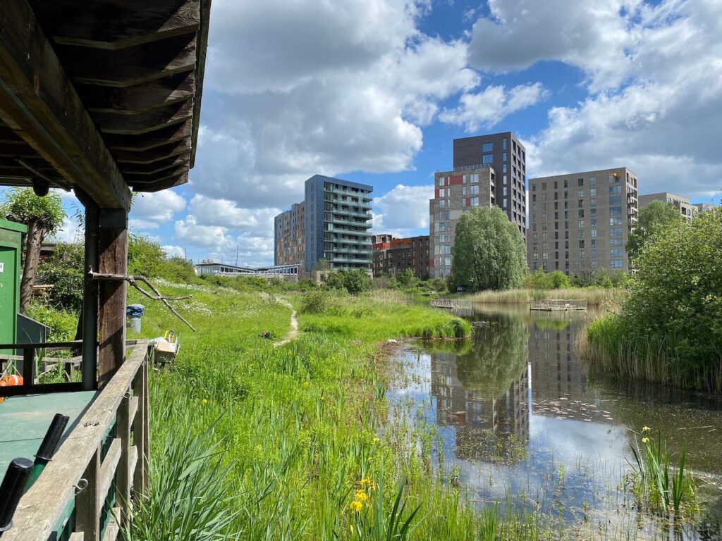
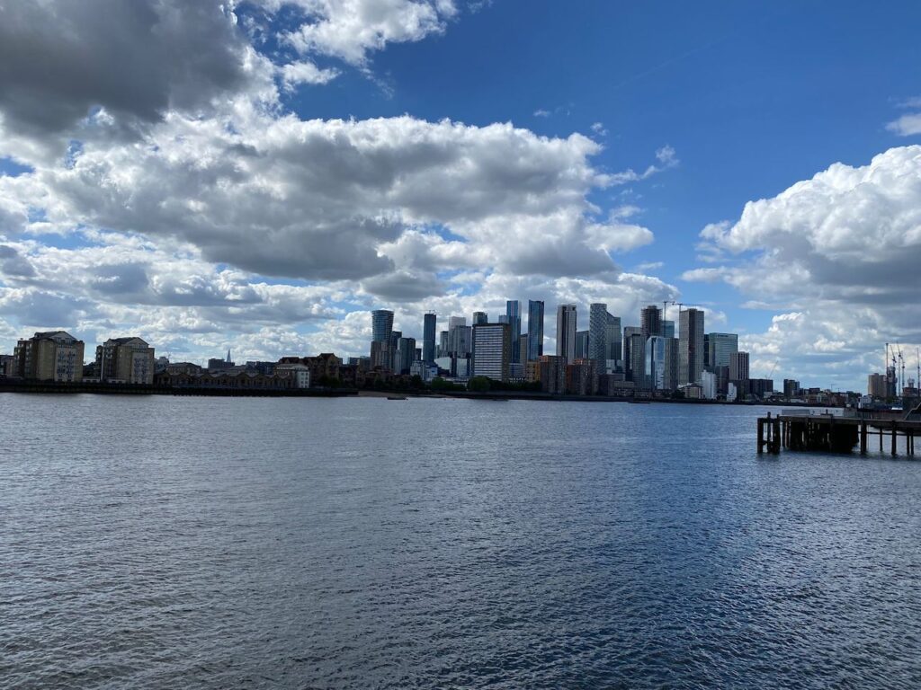
In the middle of all this is the Greenwich Peninsula Ecology Park, a small oasis with a lake and a visitor centre. We stopped there for a rest and to have a look at the birds from one of the hides. We then crossed the Greenwich Peninsula going above the Blackwall Tunnel Southern Approach – better forget this part of the walk which, although not very pleasant, is thankfully short. The last part of the walk was towards Greenwich with, at first, newly built flats, then Greenwich Power Station built in 1906, The Trinity Hospital which is being renovated, Crane Street and the Trafalgar Tavern and, finally, the Royal Naval College buildings, the Cutty Sark and the end of the walk.
The BBC had forecast that there would be rain in the morning but the rain had arrived very early and by the time 19 ramblers assembled outside Manningtree station the clouds had rolled back and the sun was shining. We were lucky that it remained dry and sunny all day.
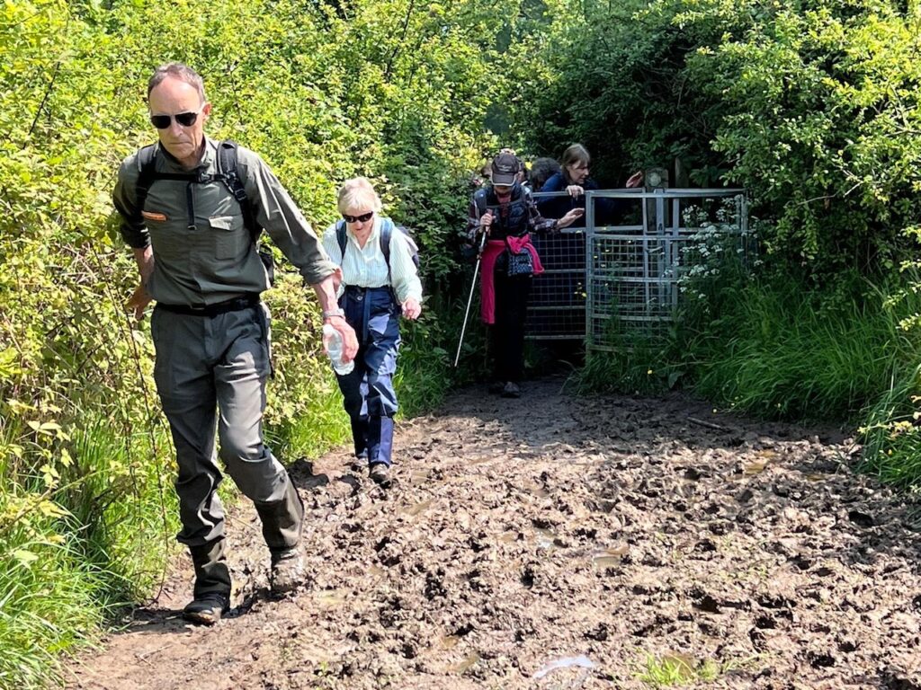
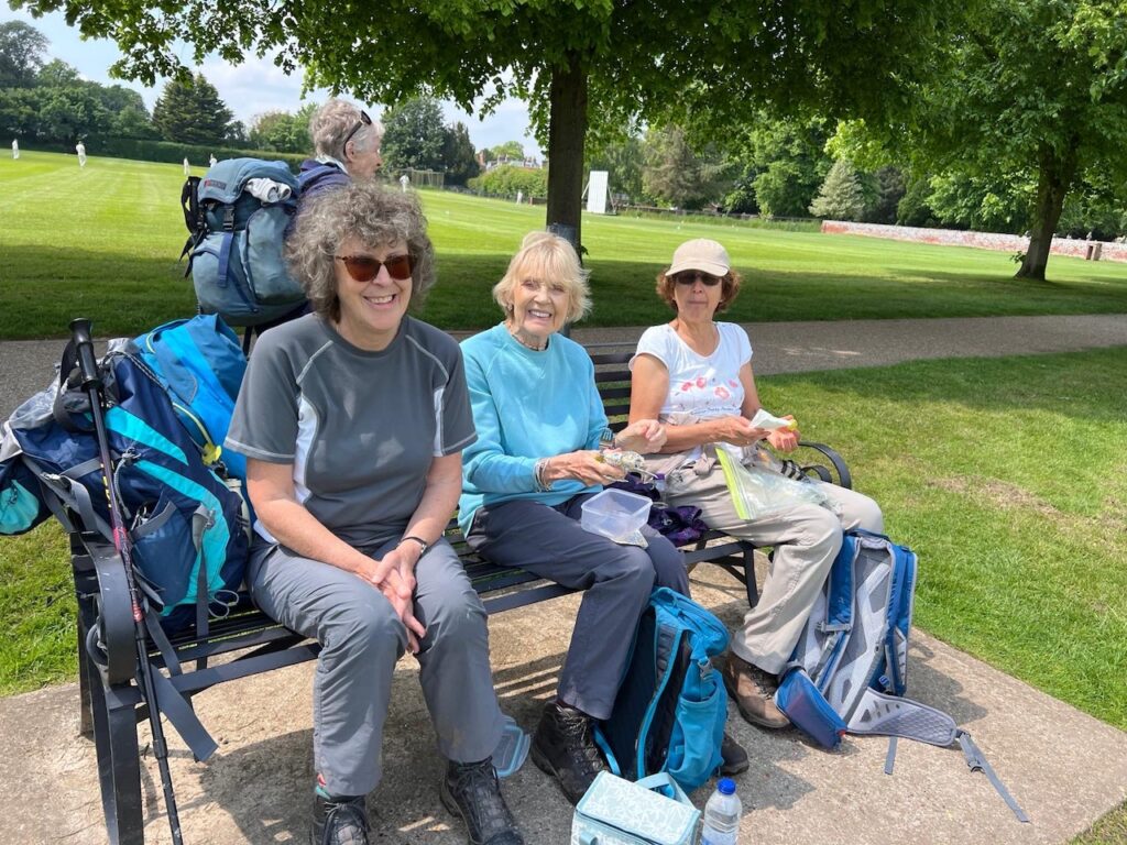
After the briefing we set out. The walk in its entirety was relatively flat and there were mud and puddles in only a few places which was not as bad as I had feared. We walked through lovely quiet spring countryside and sometimes all we could hear was the sound of birds in full song. We came to the pretty village of Dedham with its brightly coloured houses where we stopped for lunch, with those who had brought a packed lunch sitting in a nearby park watching the local team play cricket and a small group of poly’s eating at a café in the Arts and Craft Centre.
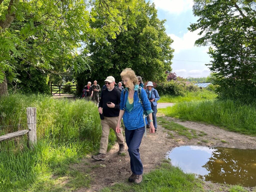
After lunch we made our way out of the village until our path turned off the road and across fields towards the village of Stratford St Mary. There was an ominous sign saying ‘Beware of the Bull’ on the stile entering the field. There was no sign of a bull or any cattle, so we decided to cross the field. Then in the distance we saw cattle in a field beyond that we would have to pass through. It was clear as we got close that there was a large number of cows and some young animals which always makes me wary. However, as they were some distance from us we decided to venture across the field keeping close to its edge and in quiet single file so that we did not excite them. Thankfully we managed to get everyone across safely and it was only when I looked back that I spotted a large bull amongst the herd. I might not have been quite so confident about leading the group into that field if I had seen him.
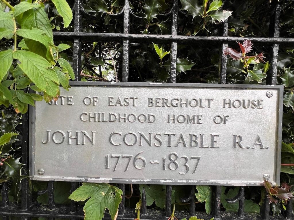
Our peaceful walk was soon shattered by the drone of traffic on the A12 which we passed very close to, but this soon faded as we struck out across ploughed fields in the direction of the village of East Bergholt where the eighteenth century English painter John Constable was born and brought up. Although Constable spent much of his time in London, he always returned to the Stour valley to paint and many of his iconic landscape paintings are of scenes from this area.
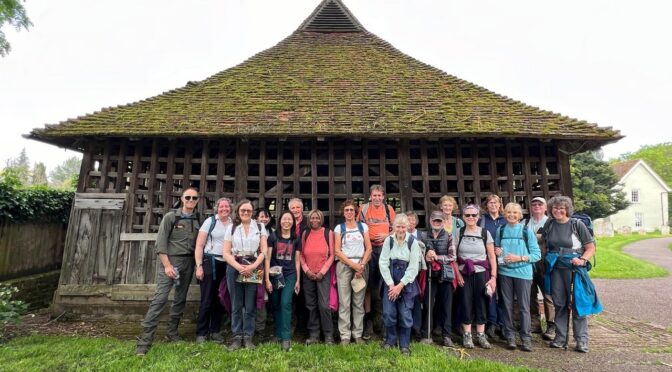
Whilst in East Bergholt we went to look at the church and, in the churchyard, the Bell cage built in 1531 to house the church bells as a temporary measure whilst the tower was being rebuilt. It became a permanent structure and houses the heaviest peal of five bells in the country which are still rung by a team of ringers for special occasions.
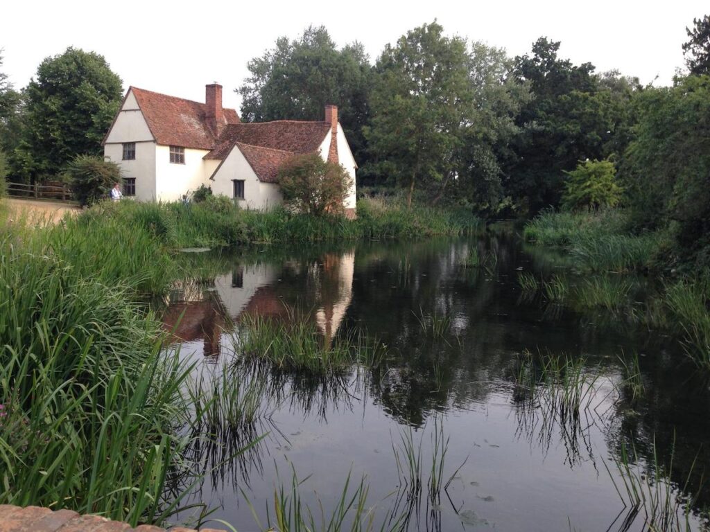
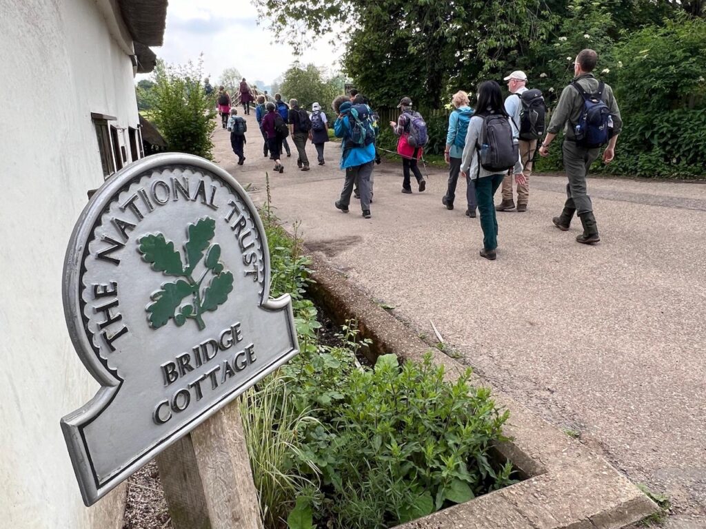
It was a short walk from East Bergholt to Flatford Mill, the scene of John Constable’s most famous painting, The Haywain, where we saw the old mill and Willy Lot’s cottage. The old mill is now a field study centre, and the National Trust have a very nice tea room where we stopped and had refreshments in the garden next to the river.
From Flatford Mill it was a short walk across water meadows bordering the Stour that were full of birdsong, back to Manningtree station where the train for London was already waiting. Thankfully the guard held up the train to allow us to all embark before the train left for London.
Mary K
Photos by Ida, Mary and Chris
The Polytechnic Rambling Club – Walking with friends