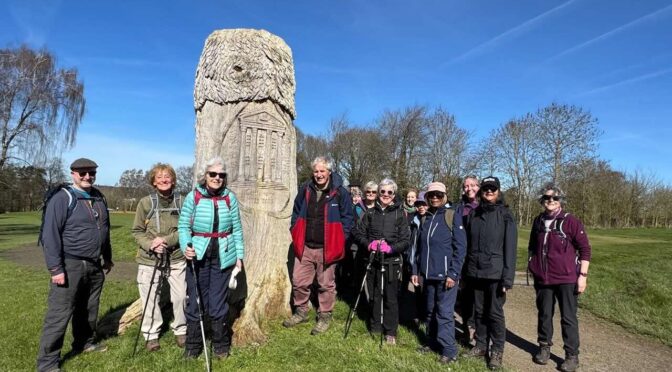
16 hikers turned up at Rickmansworth on a glorious sunny day. We started by making our way to the Aquadrome, part of the Colne valley regional park. The wildfowl were making the most of the spring weather. On the far side we followed the grand union canal and then made our way to Moor Park.
Moor Park still has a magnificent house with gardens designed by Capability Brown and was once used to house Katherine of Aragon after Henry VIII divorced her. It is now a Golf Course with the footpath going right through the middle with warnings of balls from all quarters. Fortunately we survived the ordeal with no damage.
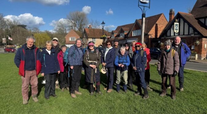
The weather forecast had been for a bright sunny day so I had my fingers crossed. It would be a welcome change after the repeated days of grey skies and rain we had been experiencing for many weeks. Sure enough that’s how the day started and it stayed that way making the walk even more special. Seventeen of us assembled outside Amersham station. There was a short delay whilst members used the nearest public toilets because the station toilets were closed and after the usual briefing we set off.
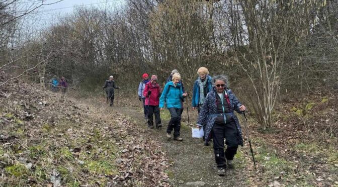
19 polyramblers set off from Henley station on a cloudy morning anticipating a fairly drizzly day. Due to very soggy conditions along the river experienced on the walkover the leader had opted for a high level route instead. We set off through the town and then went up via the Oxfordshire Way via Henley Park and through the village of Fawley until we entered the Great Wood. The views were lovely on the way up and we were delighted to see some newborn lambs.
The sunshine attracted 16 Poly Ramblers on this walk in historic Bexley village and along the Cray river to Sidcup. Nobody in the group knew what their home town or village were worth. But I could tell them that Bexley, in the Doomsday Survey of 1086, had 41 inhabitants, with 100 pigs and 10 ploughs, and was valued the equivalent of £20.
I was surprised and pleased to find eighteen hardy walkers had arrived at Berkhamsted Station on an unusually dry morning. After the safety briefing we started the walk heading right from the station and then along the Grand Union Canal passing some pubs and cafes along the way. The path was not as muddy as when Jennifer and I did the recce previously.