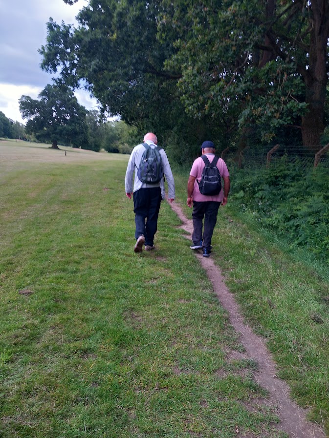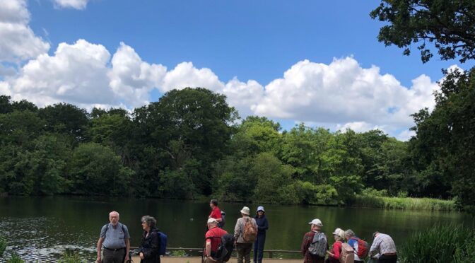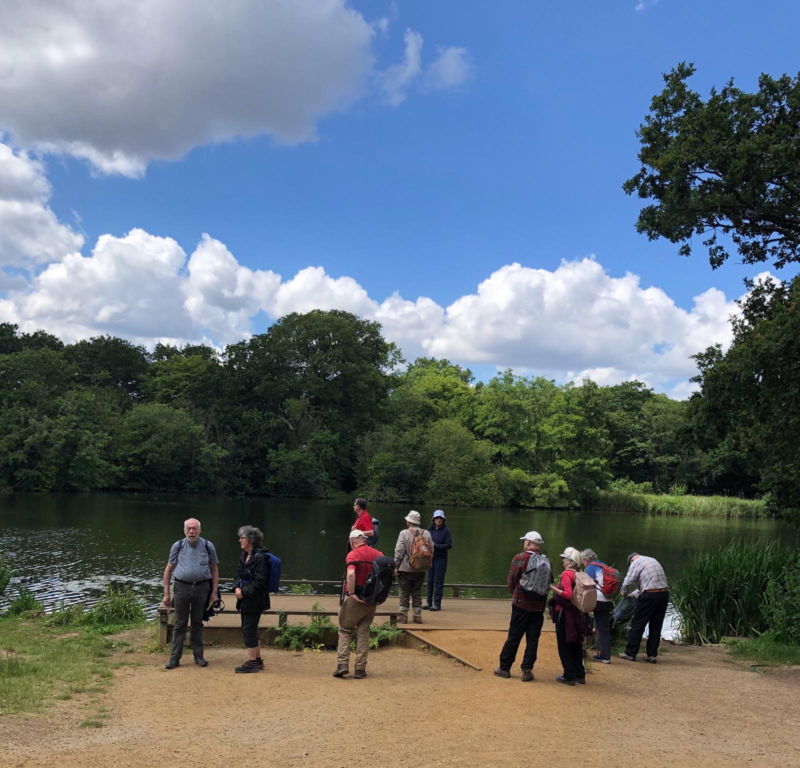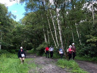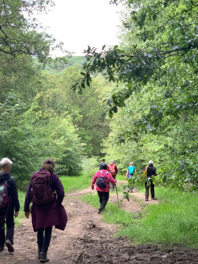
Eighteen walkers braved the winds and set off from West Ruislip station into beautiful open space following the Hillingdon Trail (HT) and along the river Pinn. On reaching Old Clack farm, we noticed an original dovecote from the gate. By now the weather too improved.
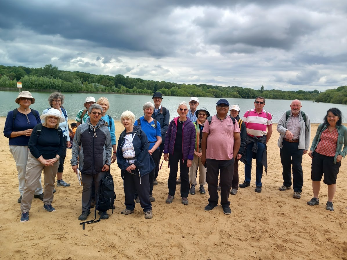
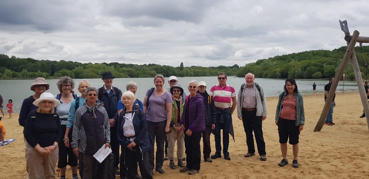
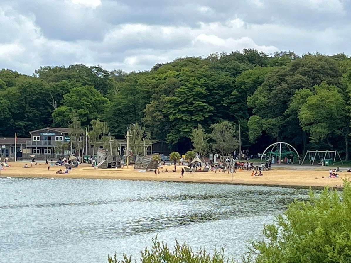
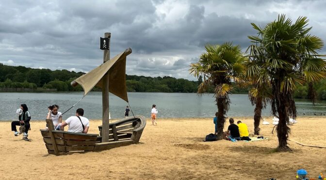
After negotiating the first stile we continued through a field and then a narrow path behind residential housing and a school. The end of this path lead to crossing a road and then following a tree lined path into an open grassy space and woodland track to take us towards Ruislip Lido and the Riverside Café for an early lunch stop. Picnic lunches were enjoyed on the beach, while some walkers chose to sit in the Café, which offered a good selection of snacks, meals, drinks, and cakes.
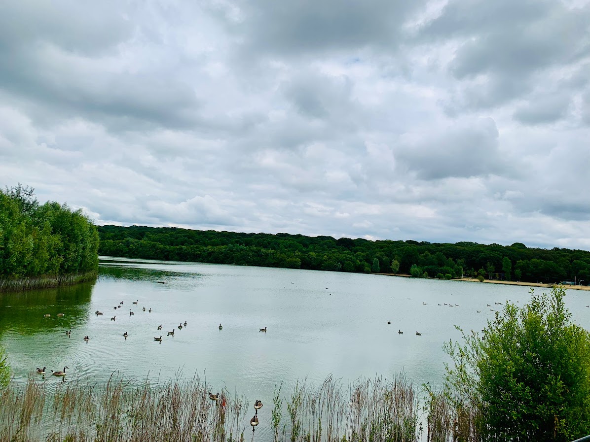
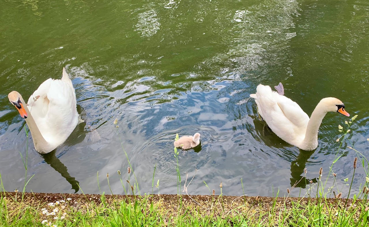
Following lunch and a beach group photo, we proceeded round the lake admiring the various wild fowl enjoying their swim in the sunshine. Picking up the HT again we set off past the golf course and woodland. The miniature railway track which goes through the lido could be seen. Perhaps a ride on the railway could have been included within this walk?
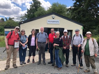
On leaving the path, we find ourselves on an uphill climb, with no reward of sprawling country views. However, we go through a meadow and reach a sports field. Following a track leading into a residential area, we find ourselves on the footpath, leading to Northwood Hills Station, signalling the end of a short but very scenic walk.
Carol D’Souza. Photos by Hilary, Rajesh and Gillian